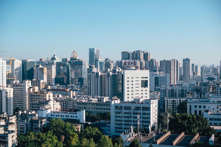
Across several quartiers of Nice, from the narrow lanes of the Vieille-Ville to the newer residential blocks climbing toward the hills of Cimiez, residents have spent months discovering that their streets, buildings and local landmarks appear incorrectly on the digital mapping and urban documentation platforms the city uses for planning and heritage records. The problem, duplicate images replacing unique photographs of specific addresses, or verified photos swapped out for generic stand-ins, has sparked a quiet but growing wave of complaints from locals who say the errors are not merely cosmetic.
The timing matters. The Métropole Nice Côte d'Azur has been pushing forward with its Smart City programme, a municipal technology initiative formally expanded under the city's 2022-2027 strategic plan. That plan explicitly commits to digitising urban heritage and improving public access to georeferenced visual data on the built environment. When the underlying image data contains duplicates or blanks, residents say the whole enterprise starts to look less like progress and more like a catalogue of someone else's street.
Where the errors are hitting hardest
The complaints cluster in several distinct zones. On the Rue Benoît Bunico, a pedestrianised stretch in the heart of the old town that is part of Nice's UNESCO-listed historic core, at least four building facades are documented with duplicate photographs, the same image appearing for neighbouring but architecturally distinct structures. On the Avenue de la Californie in the western part of the city, residents of a recently renovated 1960s residential block say the platform shows an image from a completely different street, one they do not recognise.
The association Vivre et Agir dans nos Quartiers, a local residents' group active in several Nice arrondissements, began collecting formal complaints on this issue in March 2026. By late June, the group had logged more than 60 individual cases across eight neighbourhoods, including Libération, Musiciens and the lower slopes of Mont Boron. Members describe a process of reporting errors that can take weeks with no confirmation of correction.
One person living near the Marché du Ray, a working-class market neighbourhood in the northern part of the city, described discovering that the street-level image associated with their building's municipal record was actually a photograph of a road in a different part of Nice, one with none of the same landmarks, signage or architectural character. The error had apparently persisted for at least 14 months. Another resident, in the Quartier des Musiciens, said the image shown for their building's address was a duplicate of a photograph taken on the Boulevard Victor Hugo, nearly two kilometres away.
What the data shows, and what it costs
Duplicate image problems in urban mapping are not unique to Nice. A 2024 study by the European Urban Data Observatory found that medium-to-large European cities with active smart city digitisation programmes reported an average image duplication or misattribution rate of roughly 3.8 percent across geolocated municipal photo records, a figure that sounds small until applied to a city like Nice, which has more than 75,000 registered addresses across the Métropole. At that rate, the implied number of potentially affected records runs into the thousands.
Correcting each record manually, according to municipal technology procurement documents from comparable French cities, costs between 8 and 25 euros per address when outsourced to specialist geospatial firms, and considerably more when civic workers handle auditing in-house. The Métropole Nice Côte d'Azur has not issued a public statement on the scale of the problem or a remediation timeline as of this publication date.
Residents with concerns can submit formal error reports through the Métropole's digital citizen portal at metropole.nice.fr, under the urban services complaints section. Vivre et Agir dans nos Quartiers is also collecting cases and says it plans to present a consolidated dossier to the city's Commission de la Transition Numérique at its next scheduled meeting in September 2026. Anyone whose property or address appears incorrectly in city-linked digital records is advised to document the discrepancy with screenshots and the precise address before filing, as the portal requires visual evidence to process image-related corrections.