Wellness
Nice's Best Walking Trails, Rated by Distance and Difficulty
From a flat promenade stroll to a lung-burning ridge climb, here is your practical guide to the city's finest outdoor routes.
4 min read
Wellness
From a flat promenade stroll to a lung-burning ridge climb, here is your practical guide to the city's finest outdoor routes.
4 min read
Nice has more walkable green space per resident than almost any other city on the French Riviera, and the trails to prove it. Whether you want 45 minutes of easy seafront movement or a punishing three-hour ascent above the rooftops of the Vieux-Nice, the city's network of marked footpaths offers something calibrated to every fitness level — and most of it costs nothing.
This matters right now for a specific reason. The summer heat index in Nice hit 37°C on multiple days last July, and public health advisories from the Agence Régionale de Santé Provence-Alpes-Côte d'Azur are already urging residents to shift vigorous outdoor exercise to early morning or early evening windows. Knowing which trail suits your current fitness — and how long it actually takes — is not a luxury. It is sensible planning.
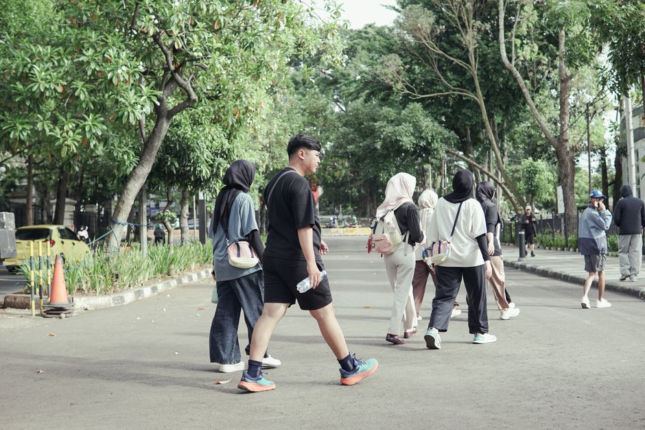
The Promenade des Anglais remains the obvious entry point for walkers. The 7-kilometre stretch from the airport roundabout at Rauba-Capeù to the Lenval district in the west runs entirely flat and is paved, making it accessible for older adults, those returning from injury, or anyone who simply wants a brisk 70-minute out-and-back without navigating elevation. Early morning footfall before 8am is noticeably lighter west of the Palais de la Méditerranée, which makes that section the locals' preferred choice in peak July.
Step up one level of difficulty and the Colline du Château is the natural next stop. The hill rises 92 metres above the port and can be reached by foot via the staircase on rue du Château in the Vieux-Nice or the lift on quai des États-Unis (€2 each way as of June 2026). The summit loop, including the Cascade du Château waterfall feature and the panoramic viewpoint overlooking the Baie des Anges, covers roughly 2.5 kilometres. Most walkers complete it in under an hour. The gradient on the staircase approach is steep enough to elevate heart rate significantly, so the route earns a solid moderate rating.
For something more structured, the association Rando Côte d'Azur runs free guided Saturday morning walks departing from place Masséna between April and October. Their July programme includes a shaded route through the Parc de la Colline de Cimiez — a 4-kilometre circuit through olive groves and Roman ruins at around 50 metres elevation — listed as suitable for all fitness levels. The Cimiez neighbourhood loop is particularly well regarded for its tree cover, a significant advantage when temperatures spike past 33°C by midday.
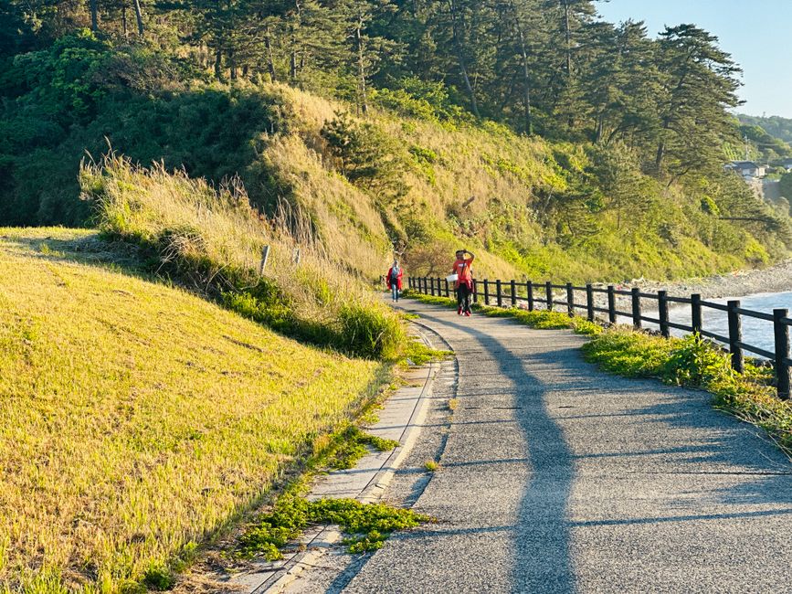
Serious walkers should look north. The sentier de la Chapelle de la Trinité, which begins at the end of avenue de Pessicart in the Les Moulins district, climbs 280 metres over approximately 6 kilometres round trip. The path is unpaved in sections, marked with yellow trail blazes, and passes through dense garrigue scrub with views back over the Var plain. Allow 2.5 to 3 hours and carry at least 1.5 litres of water per person. The route is listed as difficile on the official IGN topographic maps for the 06 département.
The most demanding day walk accessible directly from the city limits is the Mont Chauve d'Aspremont trail, which can be tackled from the northern edge of the Gairaut neighbourhood at an altitude starting point of around 300 metres. The summit sits at 854 metres. The full ascent and descent covers 14 kilometres and takes fit walkers between four and five hours. The trailhead at the Gairaut fountain is a 20-minute bus ride from Nice-Ville station on the 69 line, and the return bus runs until 7pm in summer — check the Lignes d'Azur schedule before you set out, as afternoon departures fill quickly in July.
Regardless of which route you choose, the basics apply: start before 9am in July, carry sun protection, and download the offline IGN Rando app (free tier available) before heading out, since mobile signal is patchy above 500 metres on the northern approaches. For any health concerns about exercise intensity or heat adaptation, a local médecin traitant or the sports medicine unit at the Centre Hospitalier Universitaire de Nice can advise on what your body can handle before you lace up.
About this article
Published by The Daily Nice
Spread the word
Daily brief
Free, in your inbox before 7am. Weekdays.
The Daily Network — local news across Australia